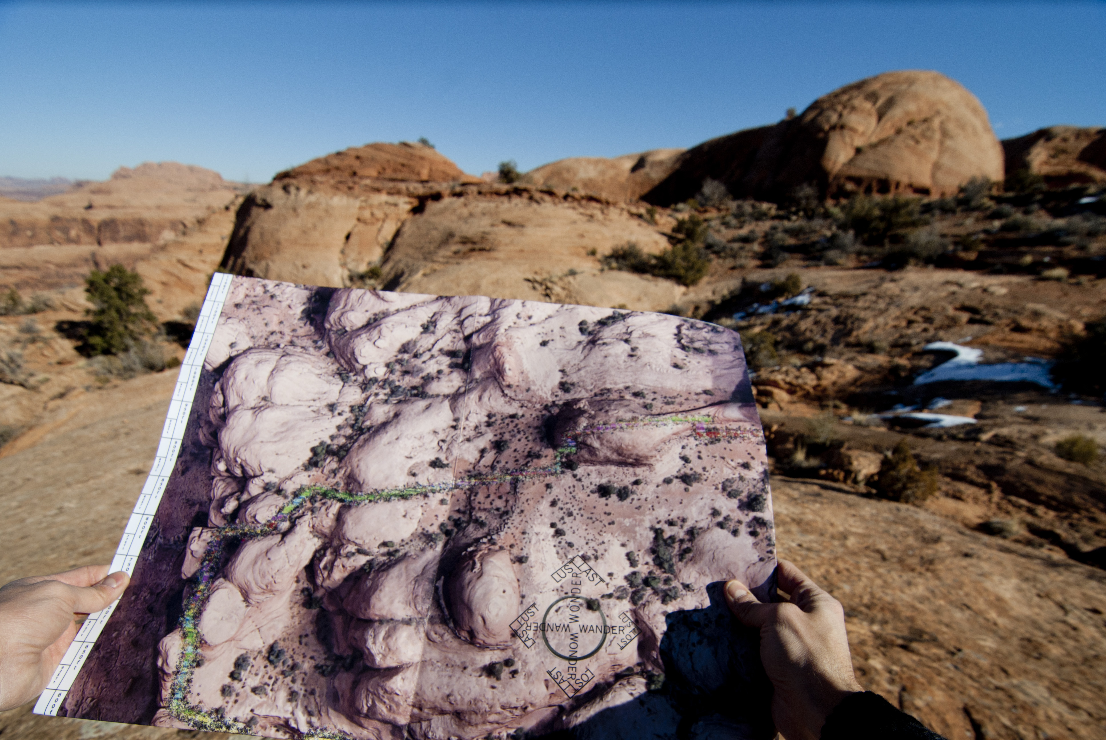
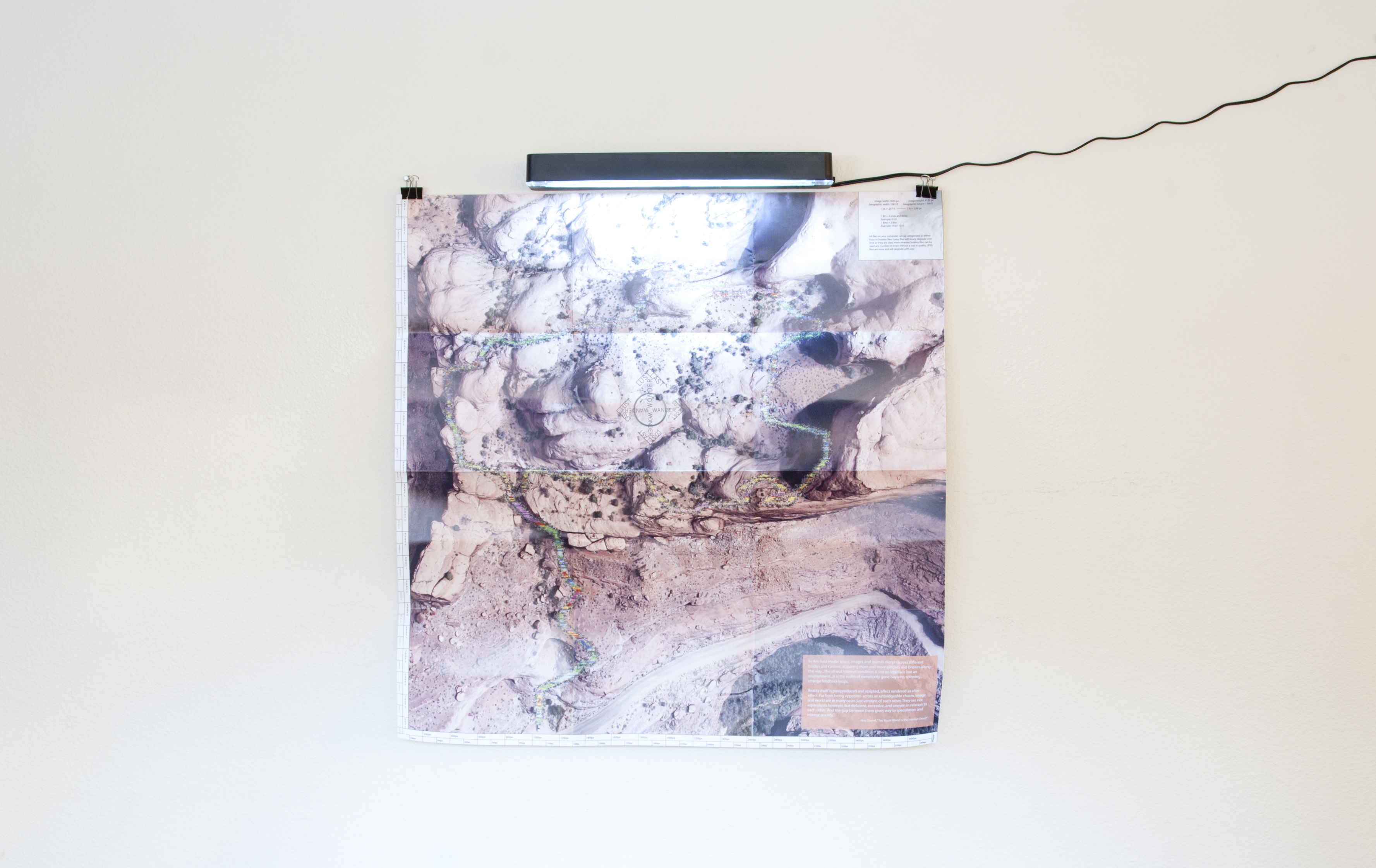
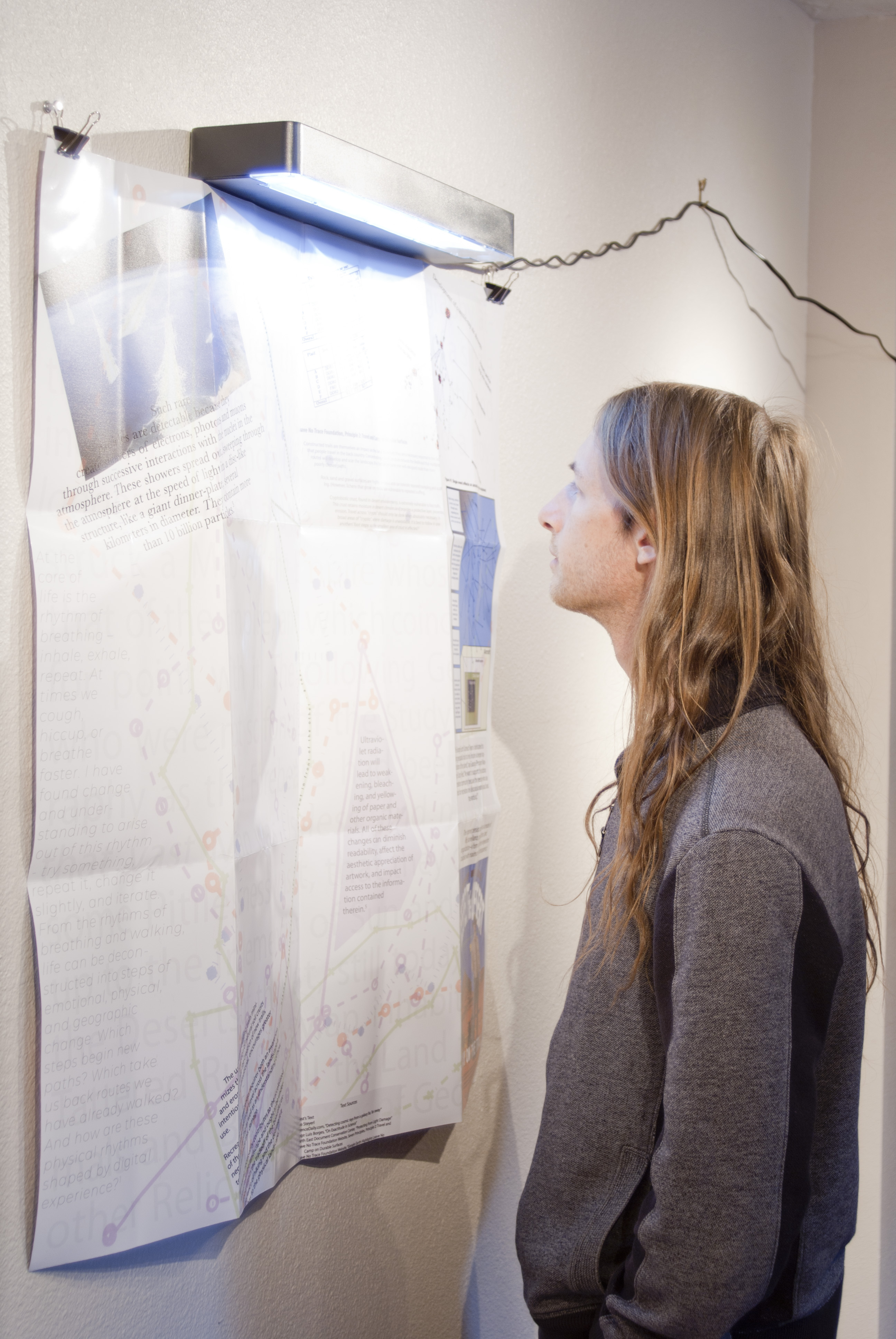
Cable Arch Erosion Map, 2018
Double sided paper print, UV-B light and housing
37”H x 37”W
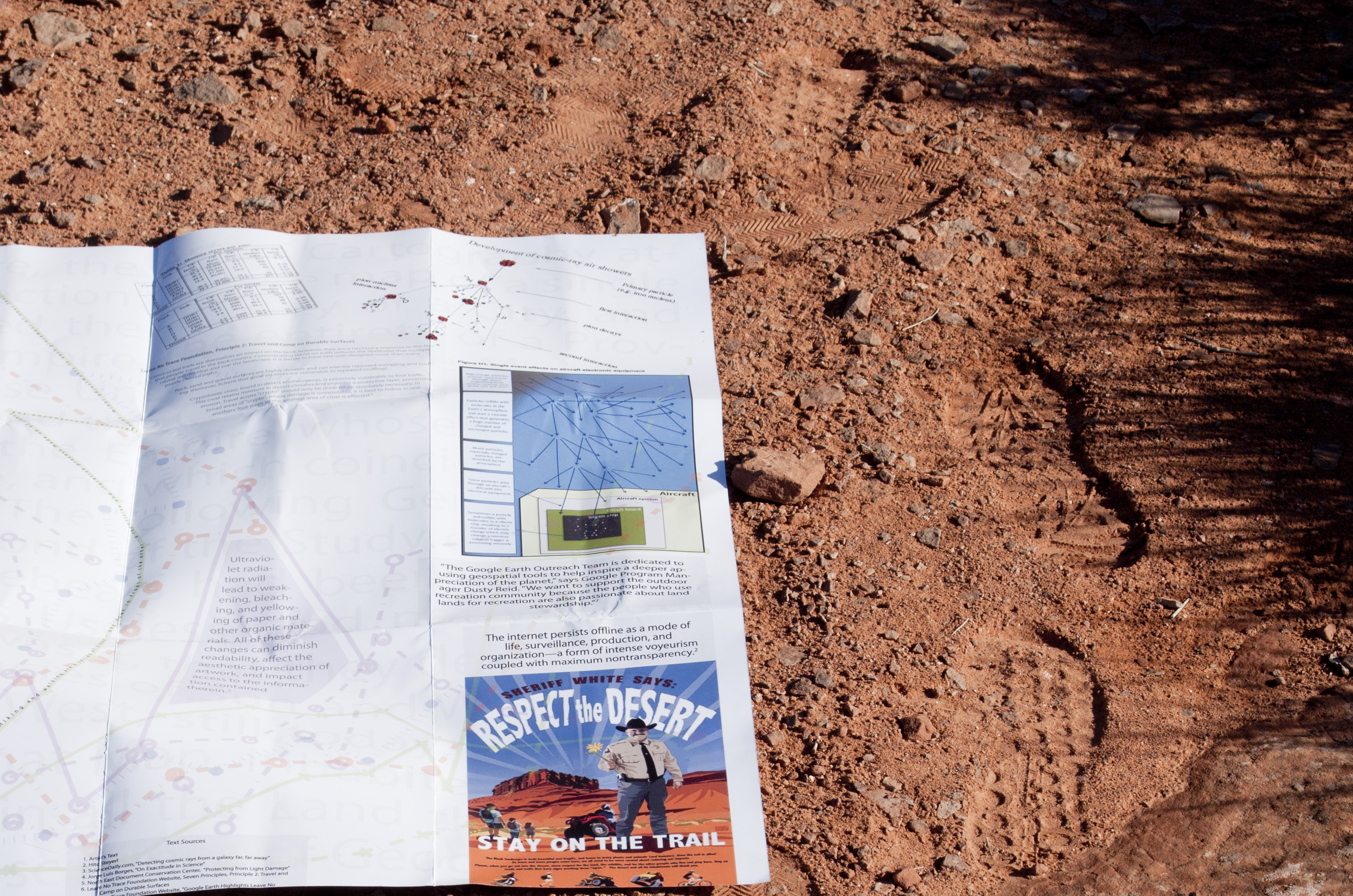
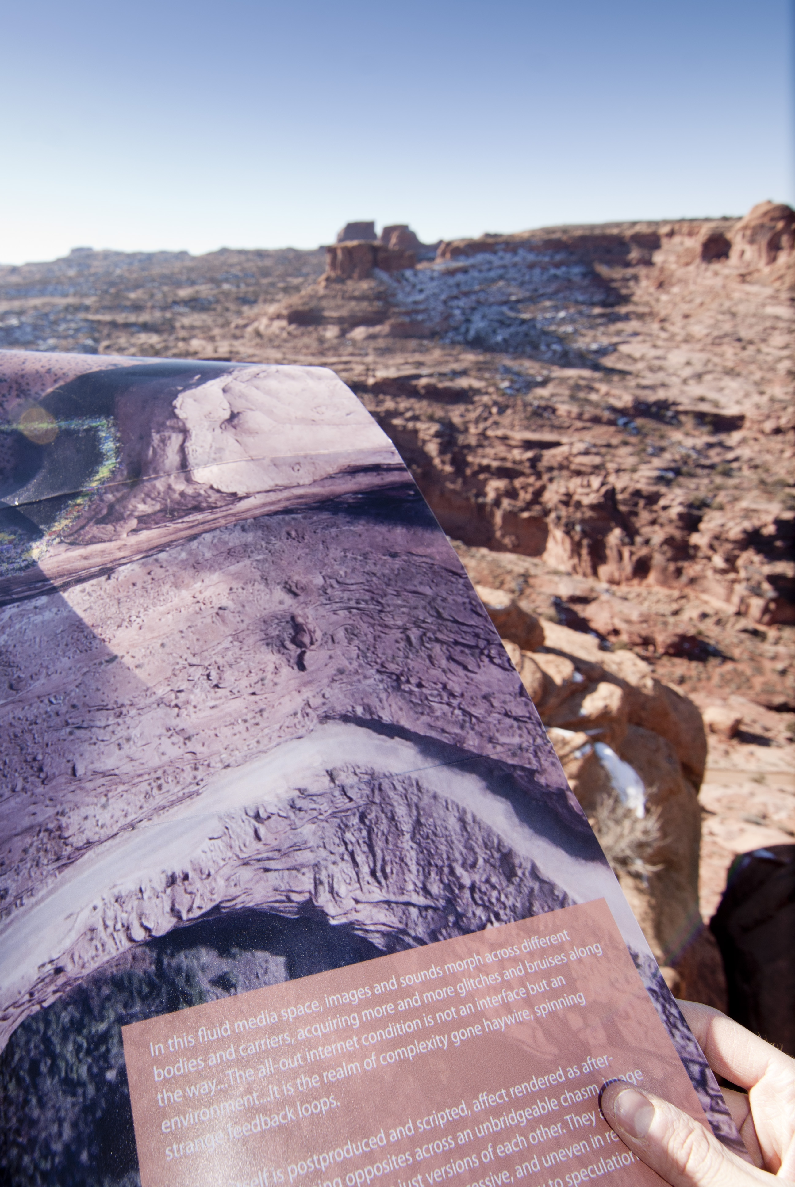
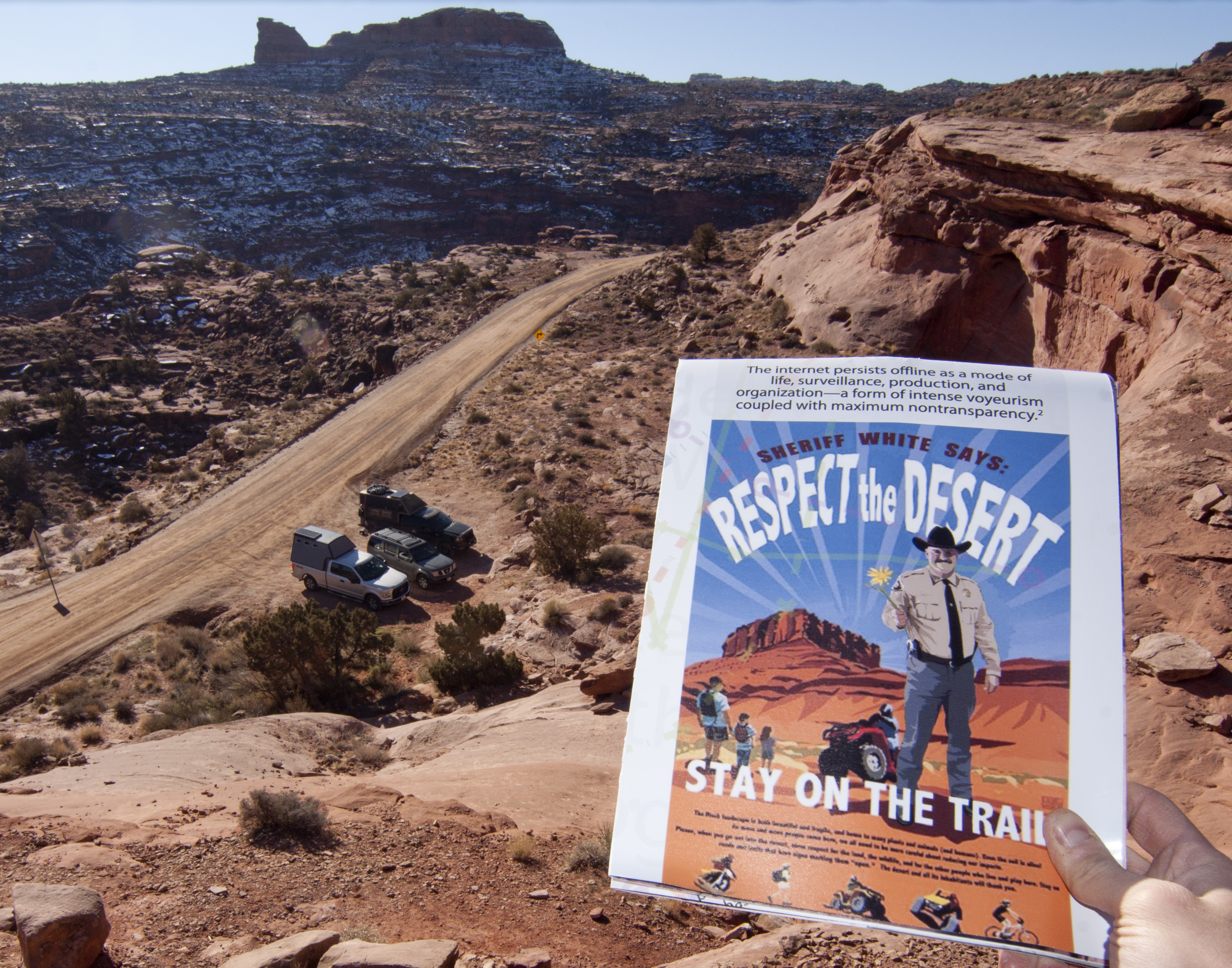
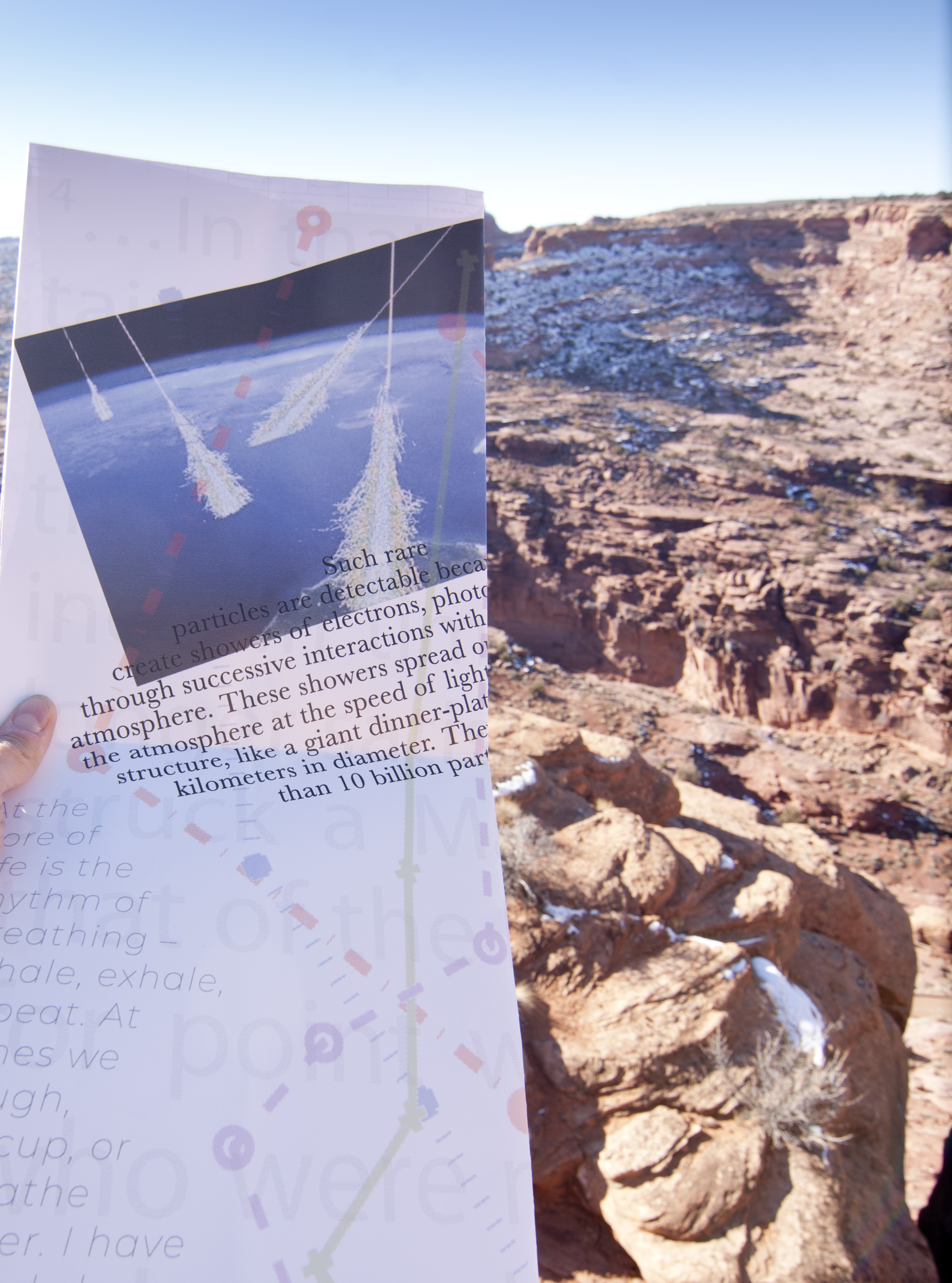
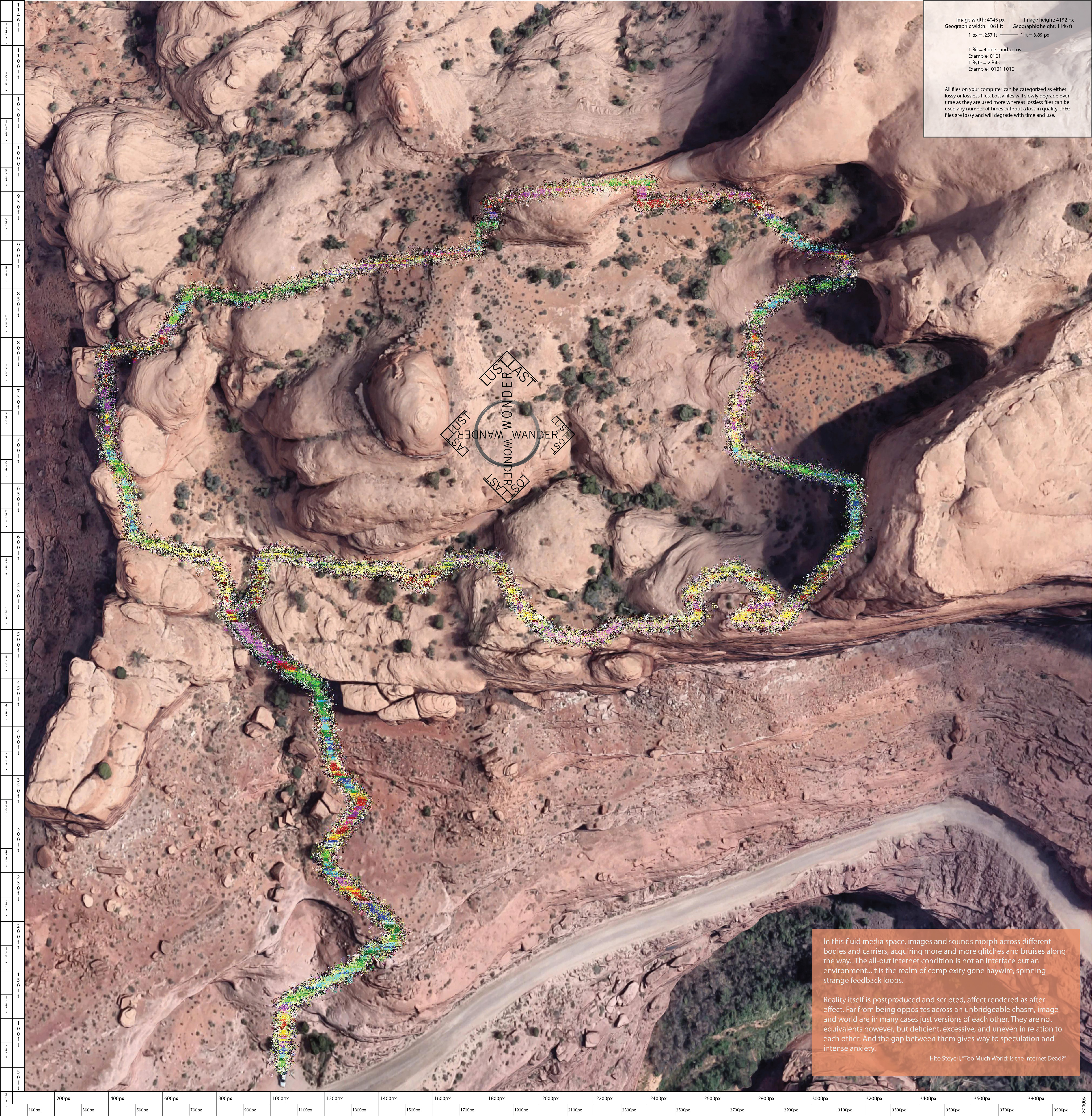
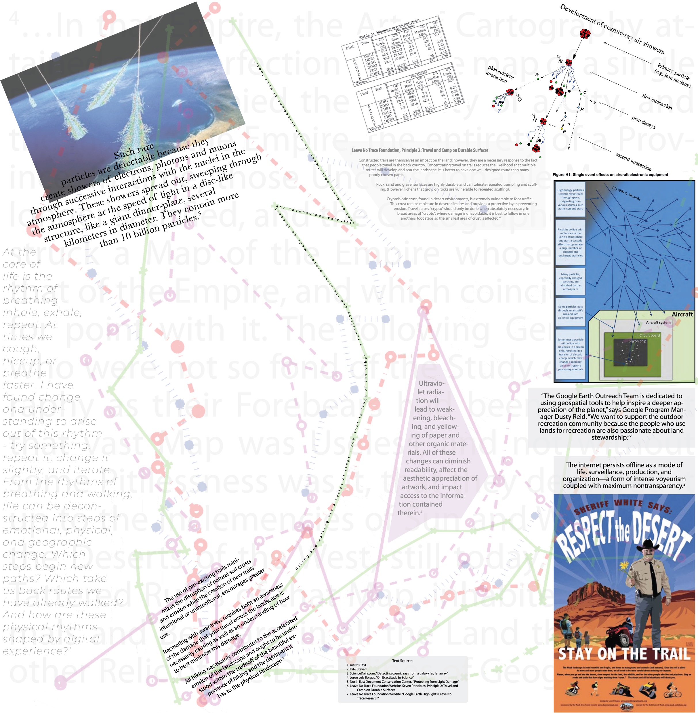
Erosion as a consequence of human outdoor recreation is a significant concern in the landscape of Moab, Utah. This work connects physical erosion to digital erosion that occurs through the degrading of lossy image formats. Drawing parallels between walking and computing as fundamentally iterative processes, the trail on the map has been digitally eroded by running computer code that erodes the map’s satellite image by replicating the consequences of cosmic ray incidents, highlighting a way in which the physical world disrupts digital information and imagery.
The work exists in two states, one as a useable trail map, with which individuals can navigate the Cable Arch trail and the other displayed in a exhibition setting where the work is illuminated by ultra violet light. The UV light is the same portion of natural light which erodes pigments, dyes, and natural fibers. Thus, even when displayed indoors, the work continues to experience the instability of the outdoor environment which it describes and at times exists within.